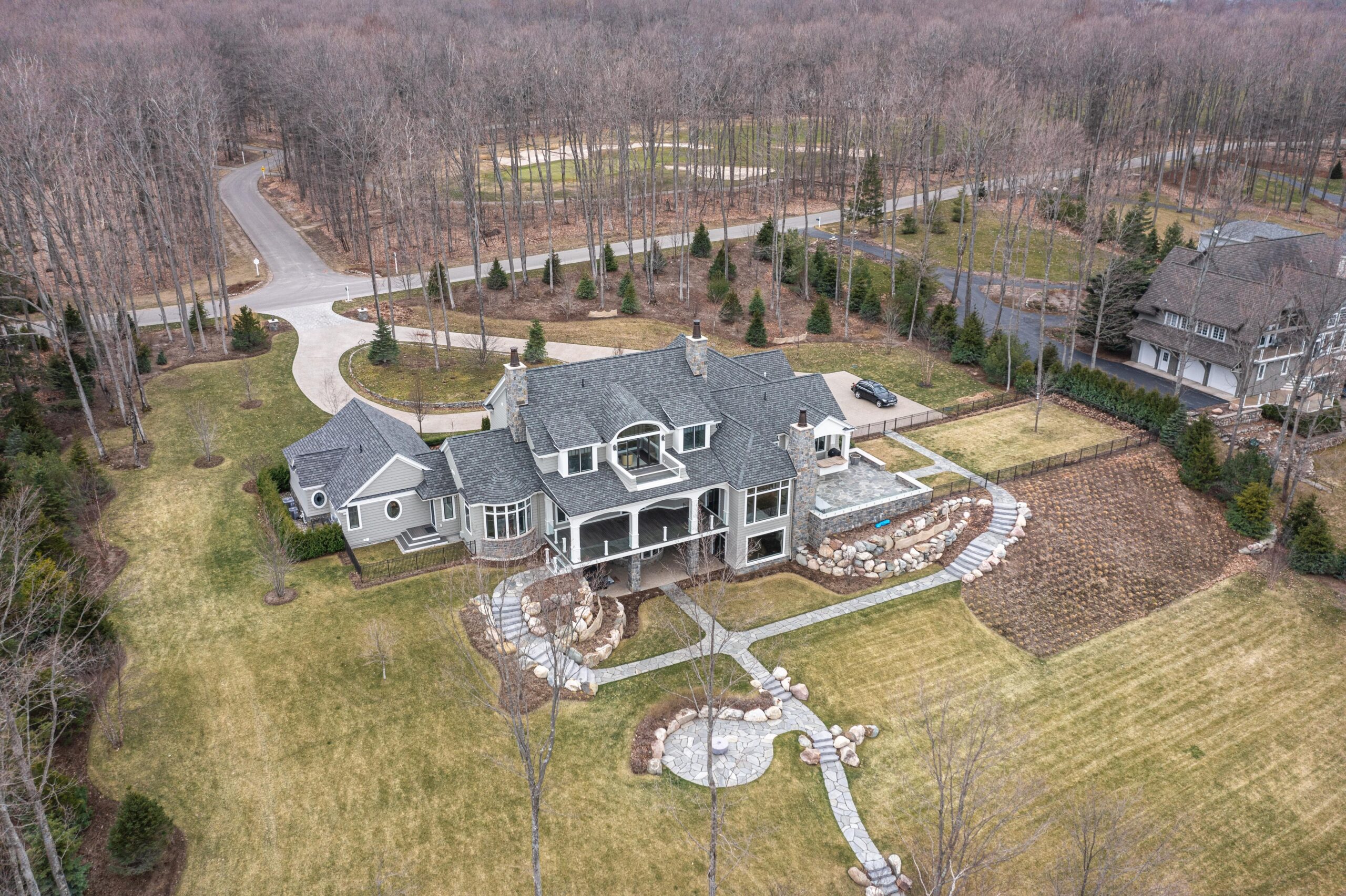
In today’s real estate market, having an aerial view of your property can be a game-changer. Aerial photos provide a comprehensive perspective of a property, highlighting its surroundings, landscape, and unique features. For real estate agents in Grand Rapids, Michigan, utilizing aerial photography can enhance listings and attract more potential buyers. This article will guide you on how to obtain high-quality aerial photos of your property in Grand Rapids, along with practical takeaways for maximizing their impact.
Why Use Aerial Photos?
Aerial photos offer several advantages for real estate agents:
- Comprehensive Perspective: They provide a bird’s-eye view, showcasing the entire property and its context within the neighborhood.
- Highlighting Features: They can capture unique property features such as large yards, pools, and scenic views.
- Enhanced Listings: Listings with aerial photos tend to stand out more and attract higher engagement from potential buyers.
Methods to Get an Aerial View of Your Property
1. Hire a Professional Drone Photographer
- Quality and Expertise: Professional drone photographers have the equipment and skills to capture high-quality aerial photos. They can provide various angles and perspectives that best highlight your property.
- Local Knowledge: Hiring a photographer based in Grand Rapids ensures they are familiar with local regulations and the best times for aerial shoots.
2. Use a Drone Service Company
- Specialized Services: Companies that specialize in aerial photography offer packages tailored to real estate needs. They handle everything from capturing the aerial view to editing the photos for optimal presentation.
- Consistent Results: These companies often have a portfolio of work, giving you confidence in the quality and consistency of the aerial photos you will receive.
3. DIY Drone Photography
- Cost-Effective: If you have a drone and some photography skills, you can take your own aerial photos. This method can be more cost-effective but requires a good understanding of drone operation and photography techniques.
- Flexibility: Doing it yourself allows you to shoot at your convenience, adjusting for weather and lighting conditions to get the best possible shots.
4. Utilize Online Tools and Services
- Google Earth and Maps: While not as high-quality as professional photos, Google Earth and Google Maps can provide basic aerial views of properties. This can be a quick and free way to get an overhead view.
- Real Estate Platforms: Some real estate platforms offer aerial photo services as part of their listing packages. Check with your listing service to see if this is available.
Practical Takeaways for Maximizing Aerial Photos
1. Plan Your Shots
- Key Angles: Plan to capture key angles that highlight the property’s best features. Overhead shots, front views, and 360-degree angles can be particularly effective.
- Time of Day: Shoot during the golden hours (early morning or late afternoon) for the best lighting. Avoid harsh midday sunlight which can create unwanted shadows.
2. Enhance with Ground Photos
- Complementary Views: Use aerial photos in conjunction with ground-level photos to provide a complete view of the property. This combination can give potential buyers a well-rounded understanding of the space.
3. Use in Marketing Materials
- Listings and Brochures: Include aerial photos in your online listings, brochures, and social media posts. High-quality visuals can significantly increase engagement and interest.
- Virtual Tours: Incorporate aerial views into virtual tours. This can provide an immersive experience for potential buyers, making your listing more appealing.
4. Stay Compliant
- Local Regulations: Ensure compliance with local drone regulations in Grand Rapids. This includes getting necessary permits and following FAA guidelines for drone usage.
Conclusion
Incorporating aerial views into your property listings can greatly enhance your real estate marketing strategy in Grand Rapids. Whether you hire a professional, use a drone service, or capture the photos yourself, aerial photography offers a unique perspective that can highlight the best features of a property. By planning your shots, combining aerial and ground photos, and using these visuals effectively in your marketing materials, you can attract more potential buyers and stand out in the competitive real estate market. Embrace the power of aerial photos to elevate your real estate listings and achieve greater success.
